A tour of RSF-controlled eastern Bahri
August 10, 2023; Khartoum Bahri Industrial Area, Kafouri, Hillat Koko
This lengthy video published on Facebook by a soldier of the Rapid Support Forces (RSF) begins in the Khartoum North Industrial Area near the thermal power plant. By geolocating various locations in the video, I was able to create a map of the route taken by the driver.
Throughout the video there is a large amount of RSF activity, but not combat activity, demonstrating RSF’s firm control of the areas indicated. Although the video is three weeks old (filmed on August 10, according to the cameraman, and uploaded the same date), none of the territories seen in the video have changed hands since then.
The video also demonstrates the RSF’s preference for small civilian cars, motorcycles, and tuk-tuks, rather than technicals (modified pickup trucks mounted with heavy guns). The latter, which are their battle vehicles, consume more fuel and are easier to spot using using drones and warplanes. When possible, the RSF therefore prefer to keep these hidden except in combat situations.
Nevertheless, several technicals are seen in the video, including some that the cameraman says were captured from the army. As to civilian vehicles, many are coated in mud, which is a tell-tale sign that they are not being used by civilians but in fact likely were stolen by the RSF and are now being used for military purposes. The mud is camouflage to prevent detection from the air.


Some civilians are seen in the video, including women and some commercial vehicles. However, in the industrial area where the video begins, most of the traffic appears military in nature, due to the near complete cessation of commercial and industrial activity. One exception is a flatbed truck seen at 03:00, carrying a Sport Utility Vehicle. This truck could be part of an RSF smuggling operation to transport stolen vehicles out of Khartoum and export them or sell them in other parts of Sudan.
After leaving the industrial area, the cameraman proceeds east past a roadblock at 15.653800, 32.567277.
Civilian activity increases from this point, but it is still fairly desolate. There is another checkpoint at 15.654877, 32.574191 at which point the video cuts out (6:20), possibly because the cameraman was stopped by fellow RSF soldiers at this checkpoint and he didn’t want to include this in his video.
The video resumes nearby after the driver has turned south into Kafouri Block 4. He then proceeds directly south for about 4 kilometers.


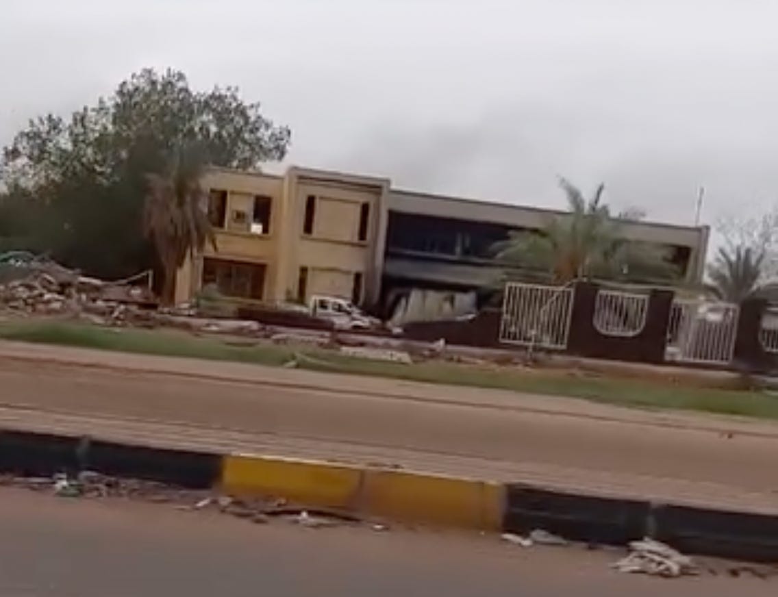
Reaching the main road along the Blue Nile, he turns east toward Hillat Koko, passing a building along the way that he says was bombed. The building has visible smoke damage. Part of the gate and some outbuilding on the grounds of this property, which were visible in satellite images, have been reduced to rubble.
Notably, the driver did not go near Kober area, which is where the Sudan Armed Forces maintain a foothold in southern Bahri. Overall, the video gives a snapshot of daily life in RSF-occupied eastern Bahri.


