

Operations against RSF in Sudan’s northern desert
Capture of Al Atrun base is setback for RSF mobility and logistics
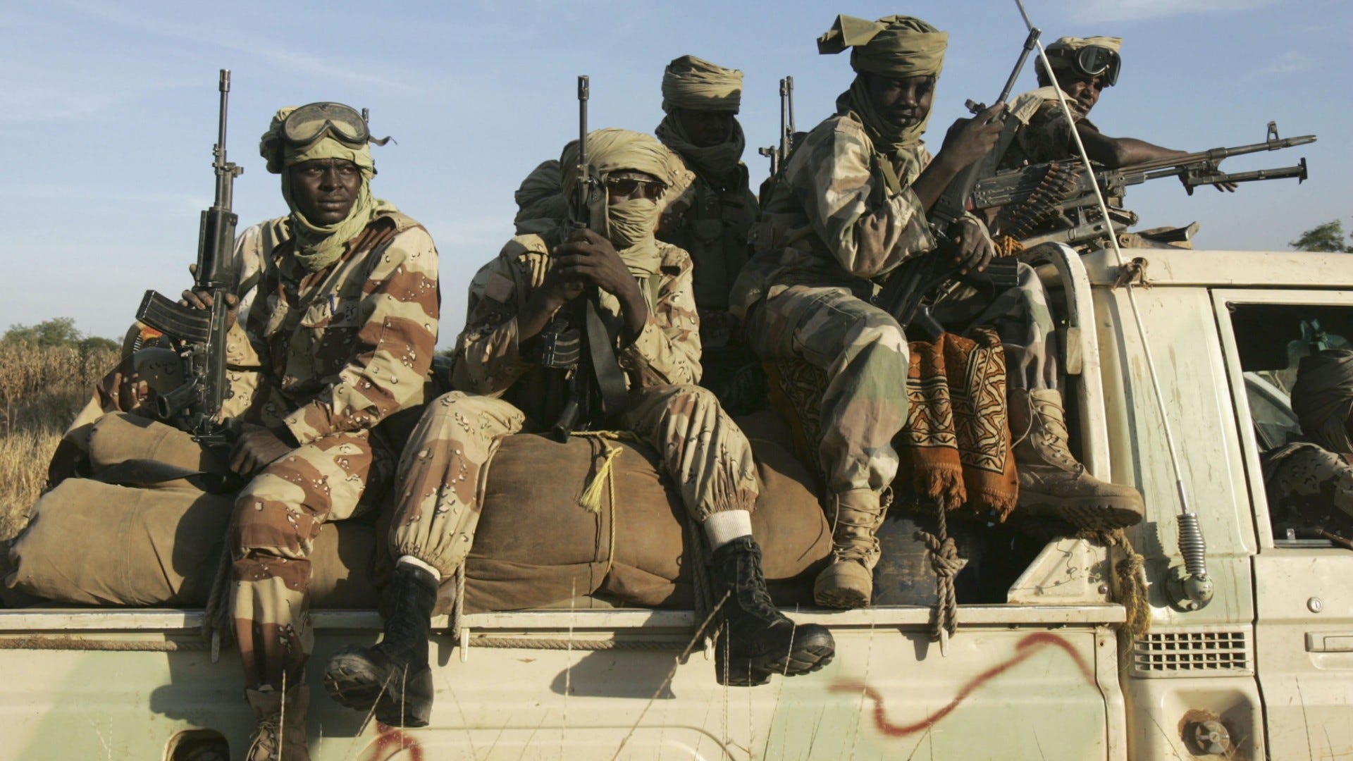
The Sudanese Armed Forces (SAF), in coordination with their allies from the Joint Force of Armed Struggle Movements (JSAMF) – a coalition of former Darfur rebel groups – have seized control of a strategically significant military garrison and its associated airbase located in the northern desert of North Darfur state.
The capture of Al-Atrun area – located near the border with Northern State – marks a critical disruption for the Rapid Support Forces (RSF), particularly in terms of their mobility and supply chains, though the immediate effects may seem minimal.
The operation saw them capturing the small town of Al Atrun, along with its military garrison and airbase. The forces entered from the north, advancing from Al Dabba in Northern State, approximately 280 kilometers to the east.
This was compounded by remnants of troops who had previously been defeated by the RSF in Al-Maliha, located about 215 kilometers to the south, in a clash that occurred last in mid-March.
Videos circulating online, and subsequently geolocated by Sudan War Monitor, confirms the presence of Sudanese army personnel and their allies at the base. The images suggest the RSF had already vacated the area prior to the capture, implying that no major resistance was encountered during the operation.
In recent weeks, the RSF has made significant advances in West Kordofan, including the capture of Al-Nahud, which had served as the administrative capital for the state since the fall of Al-Fula in June of the previous year.
While it remains unclear if the fall of Al-Atrun is due to a reduction in RSF forces for Kordofan operations, the noticeable decline in their relentless attacks on El Fasher suggests a redeployment of troops to Kordofan, leaving North Darfur with a smaller RSF presence.
In a statement after the seizure of Al-Atrun, the Joint Force reaffirmed their determination to defeat the RSF, which currently maintains control over nearly all of Darfur, except for areas in North Darfur such as the state capital El Fasher which is currently besieged.
The Joint Force emphasized that the operation was carried out in close coordination with the Sudanese Armed Forces and that it represented a crucial victory in their ongoing battle against the paramilitary group.
“The Joint Forces of the Armed Struggle Movements proudly and with great honor announce the liberation of the strategic Al-Atrun area in the desert of North Darfur from the grip of the Rapid Support Forces militias. This great achievement is the result of a precise and coordinated military operation carried out by our forces in cooperation with the Sudanese Armed Forces, which inflicted heavy losses on the enemy in terms of lives and equipment.”
“The liberation of Al-Atrun represents a decisive step toward restoring security and stability in the Darfur region, reflecting our unwavering commitment to protecting civilians and securing Sudanese territories. We are also closely monitoring any movements along the western borders of the country.”
“We reaffirm our continued efforts to defeat the militias and restore safety to all parts of the region, so that our people may live in peace and dignity.”
“We call upon the people of Darfur and all of Sudan to unite and rally behind these national efforts, emphasizing that victory belongs to justice and righteousness. We pray that Allah grants mercy to our martyrs, healing to the wounded, and the safe return of the missing. May Allah protect Sudan and its people from all harm,” they said in the statement.
Al-Atrun holds significant military importance in North Darfur, with its airbase serving as a hub for RSF operations, including alleged arms and gold shipments into and out of Sudan as well as drone strikes targeting cities under the SAF’s control.
These areas span much of northern Sudan, including Northern, River Nile, and Khartoum states, where the RSF suffered a major defeat in late March, following a chaotic retreat from Khartoum to Omdurman, the capital region’s largest city.
The airbase also played a critical logistical role for the RSF, acting as a key waypoint for military supplies, particularly those coming from the south and west of Darfur or arriving by air from outside Sudan.
Its capture by the SAF disrupts the RSF's logistical and operational strategies in North Darfur, though the overall impact remains limited. Despite this setback, the RSF can still operate in other key areas it controls across Darfur.
The loss of this strategic garrison offers a significant advantage to the Sudanese military, which can now use the airbase to support its operations in North Darfur. Since late 2023, the SAF has relied on air drops to resupply its 6th Infantry Division, which is besieged by the RSF in El Fasher.
Additionally, the SAF has stationed a large force of newer recruits and Joint Forces along the border between North Darfur and Northern State, with the dual purpose of preventing an RSF advance into northern Sudan and advancing southward to relieve the siege of El Fasher. Securing this airbase will provide a crucial supply route for this mission.
Meanwhile, the RSF continues to control large areas of South Darfur, East Darfur, West Darfur, Central Darfur, and parts of Kordofan, including key airports and military bases vital to its ongoing campaign.
The Sudanese military earlier this month targeted and destroyed an airplane at the RSF-operated Nyala airport. This plane was believed to be transporting military supplies for the group and the airstrike that targeted the airport resulted in the deaths of three Kenyan and one South Sudanese pilot.
Videos
In this video geolocated by Sudan War Monitor, members of the Joint Forces and the SAF are seen at the Al-Atrun military garrison following the capture of the base. Location: 18°10'55.87"N 26°38'9.25"E.
In this video which was also filmed in Bir Al-Atrun (the town) today, the soldiers from the Joint Force are heard saying that “from here we are heading to Al-Maliha” which was captured by the RSF in March. Location: 18°10'7.62"N 26°34'2.59"E